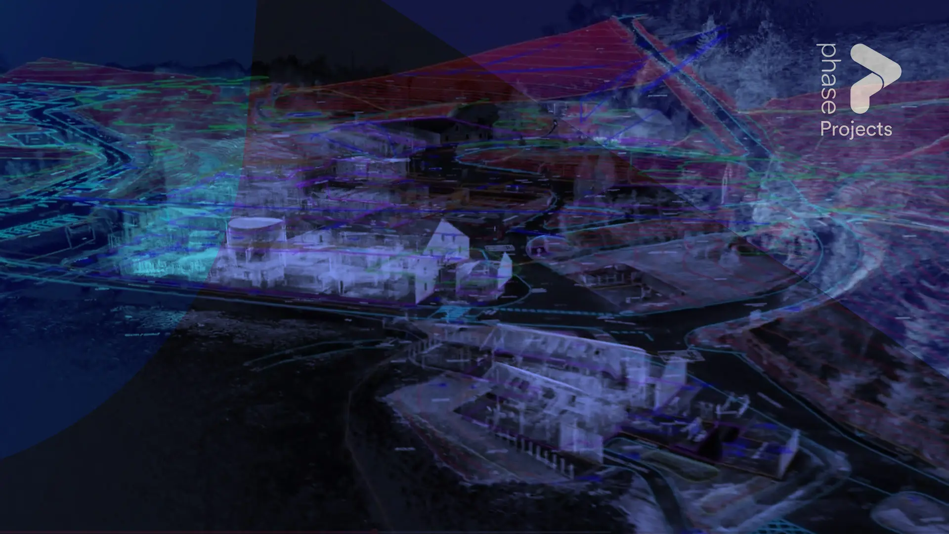
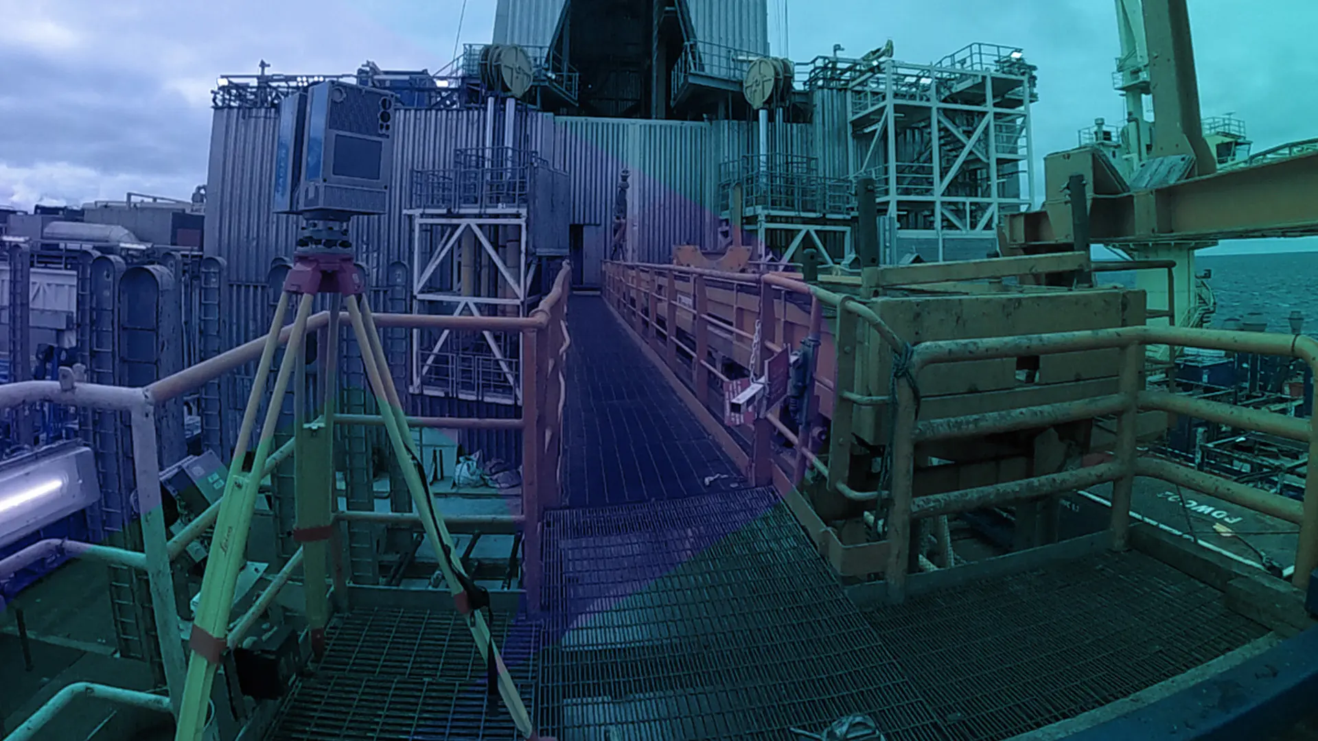
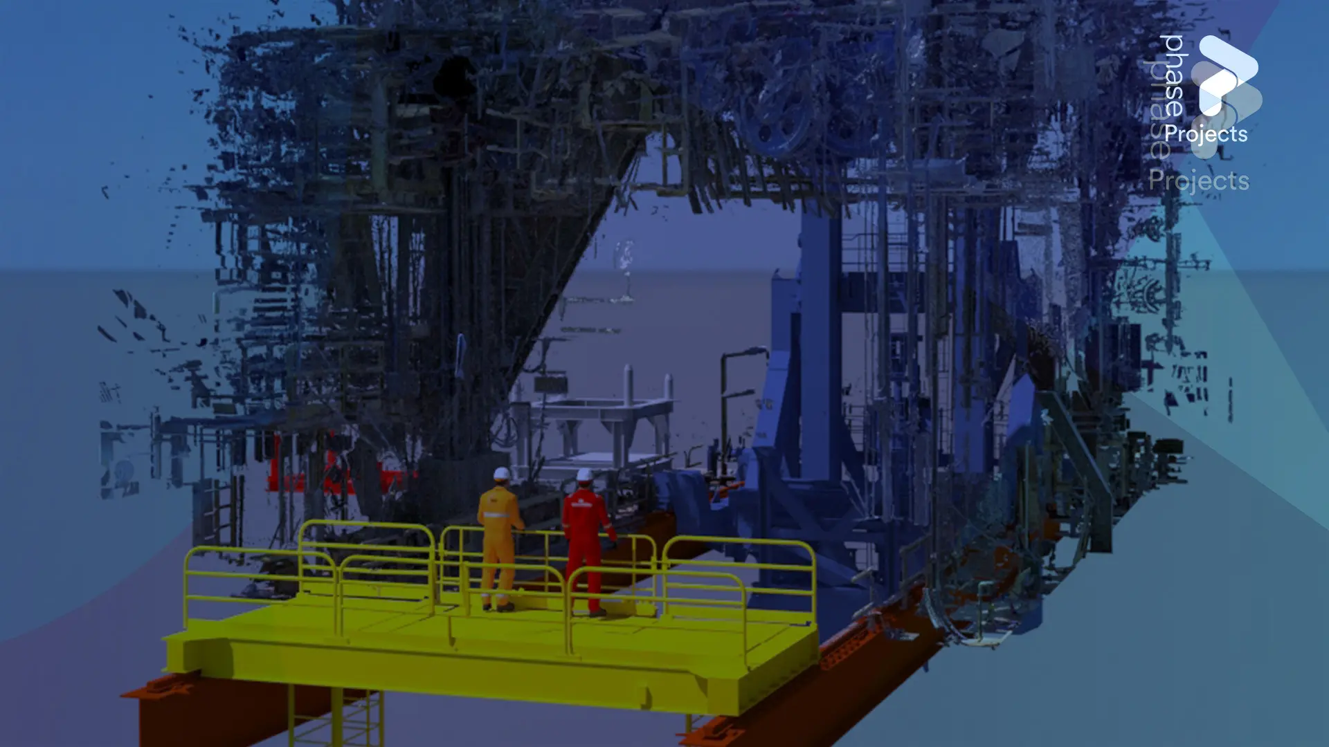
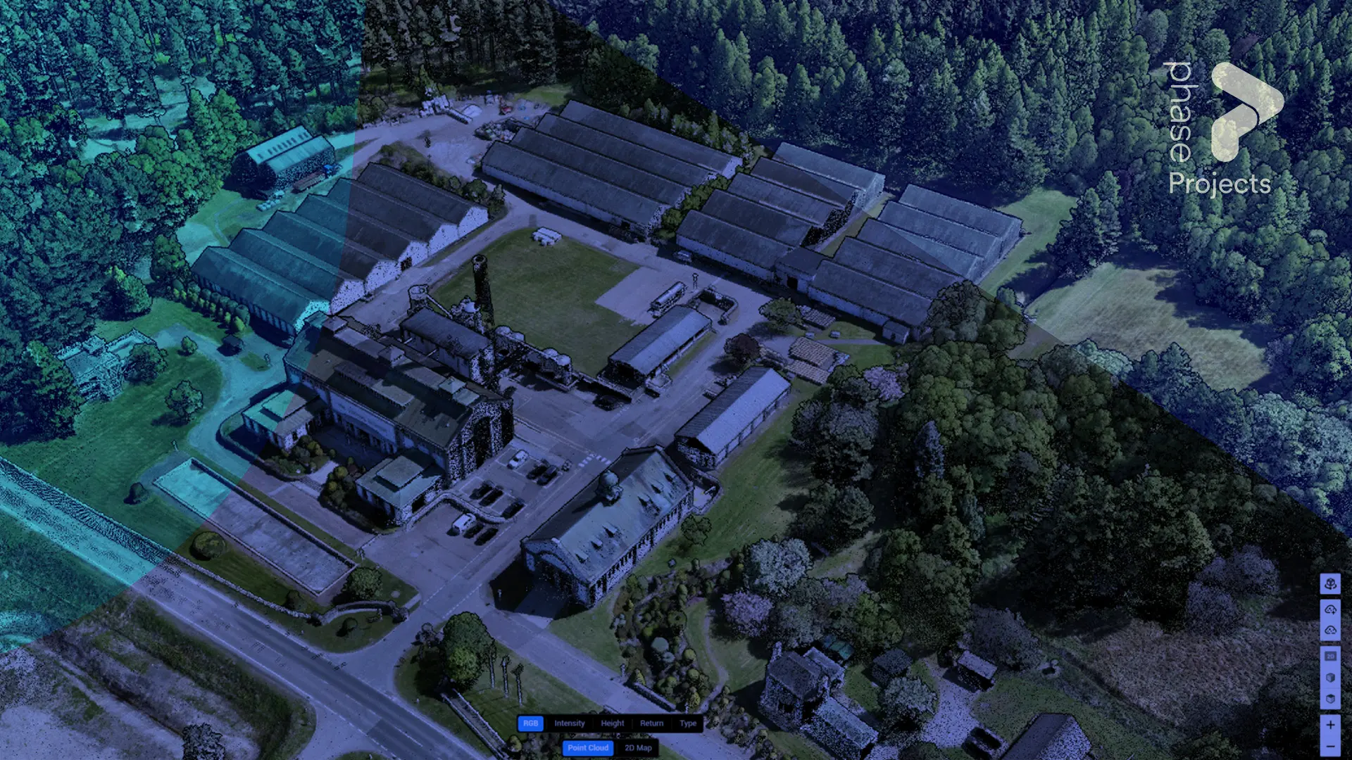
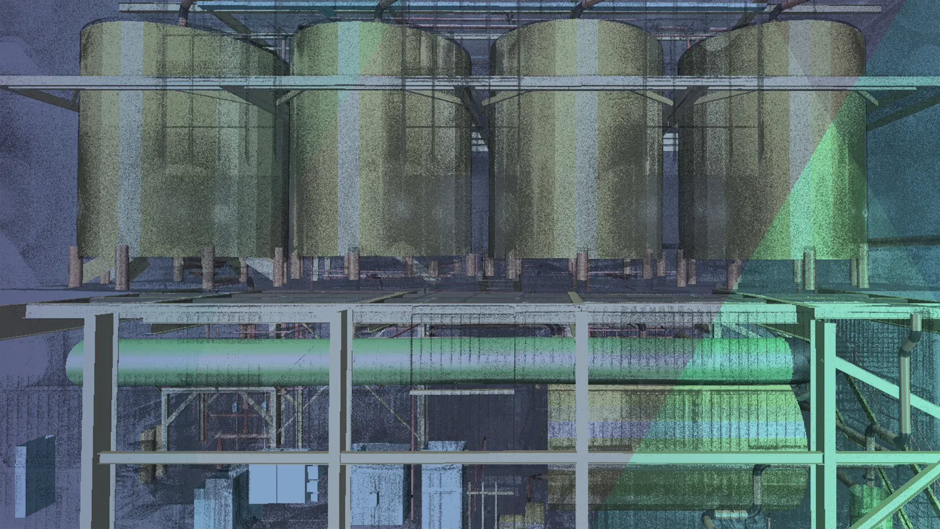
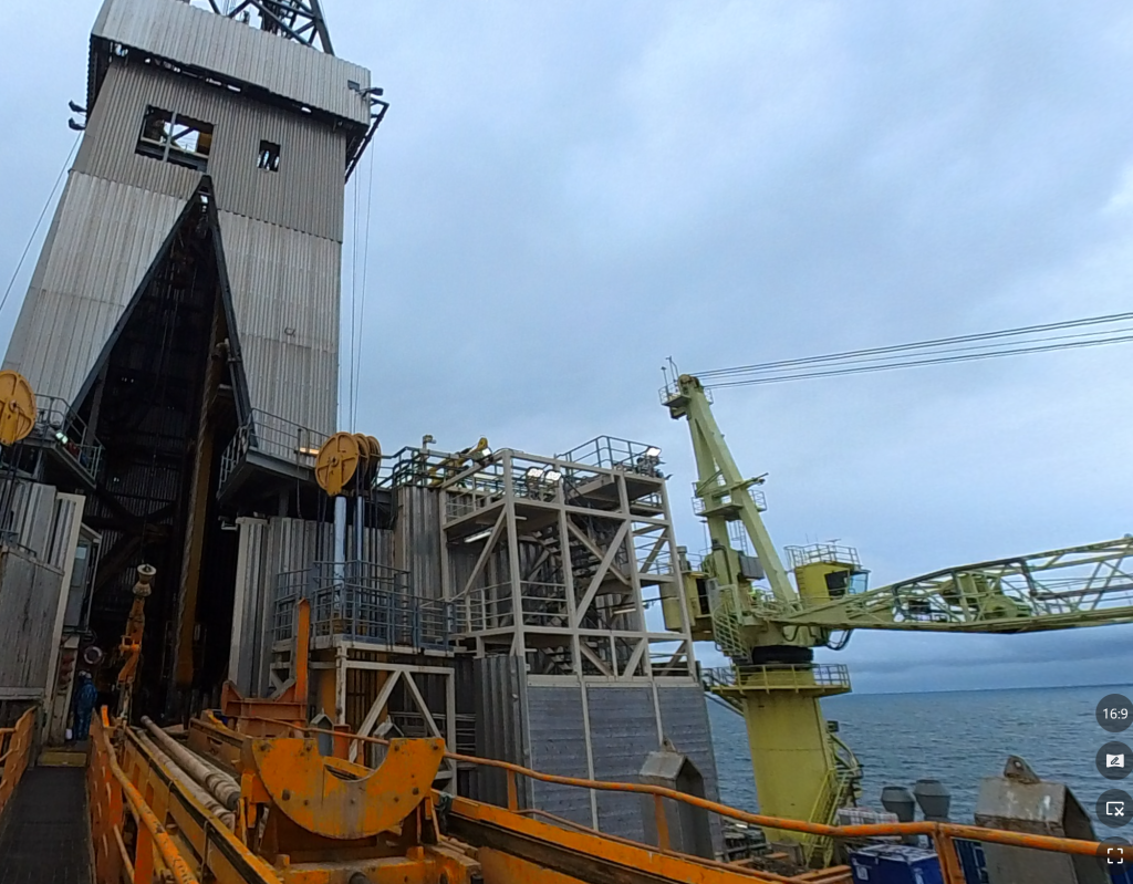
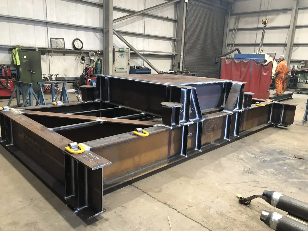
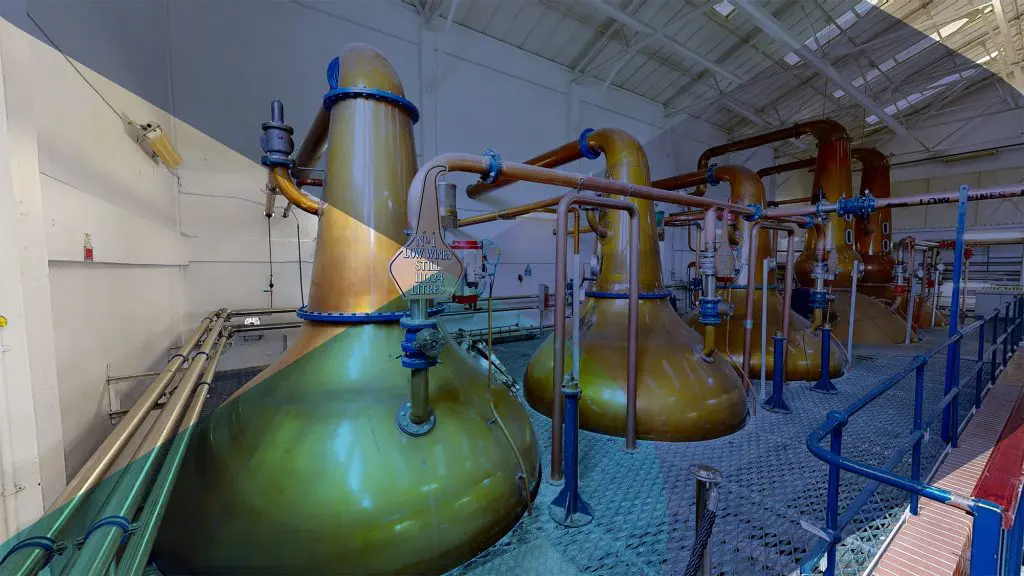
This application area focuses on establishing accurate spatial context and the relative positioning of assets as they exist. It is applied where understanding location, orientation, and proximity is critical — establishing the spatial foundation that interface definition, planning, and coordination work from.
By verifying spatial relationships as they physically exist, Phase provides a reliable contextual baseline that informs downstream interface definition, planning, and coordination.
1. Relative Asset Positioning Captured
Accurate recording of how assets are positioned relative to one another.
2. Spatial Orientation Confirmed
Alignment, elevation, and orientation documented as they physically exist.
3. Contextual Relationships Established
Surrounding assets and structures recorded to provide spatial awareness.
4. Environment-Wide Context Recorded
Wider site or facility context captured to support understanding of spatial constraints.
5. Contextual Baseline for Interface Work
Verified spatial context compiled to support downstream interface assessment and planning.
The spatial foundation for interface work
Before interfaces can be defined, fit assessed, or installation planned, the spatial relationships between existing assets must be established. Spatial Context & Asset Relationships provides the verified positional foundation from which all downstream interface and planning work proceeds — removing the risk of committing to designs based on assumed or outdated geometry.
Phase operates from Aberdeen, supporting spatial context capture across offshore platforms, industrial facilities, and infrastructure projects throughout the UK and internationally where required.
When it's needed
Applied where the relative position, orientation, or proximity of assets is unknown or unverified. Typically engaged ahead of brownfield modifications, equipment installations, or any work where spatial constraints between existing assets directly affect feasibility or design.