Industrial Facility Digital Twin — Complete Spatial Capture For Future Planning
Client: Beverage Company
Industry: Industrial
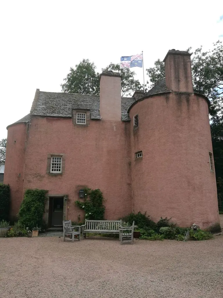
Location:Scottish Distillery
Our Experience
The Situation
A multinational beverage company required a complete verified spatial baseline of an entire distillery facility and its wider estate — for use in design and future planning. The requirement covered everything: operational and process areas, warehouses, external buildings, the main site, outlying facilities, and forested land owned by the company.
All of it needed to be captured to a precision that would support pipework tie-in modelling and future design decisions — tied to Ordnance Survey National Grid throughout. A single coherent spatial reference across the entire asset, internal and external, usable by engineers in AutoCAD without ambiguity.”
What Phase Established
Phase carried out a complete spatial capture of the facility and wider estate over several weeks — applying the right method to each area to achieve the required precision efficiently.
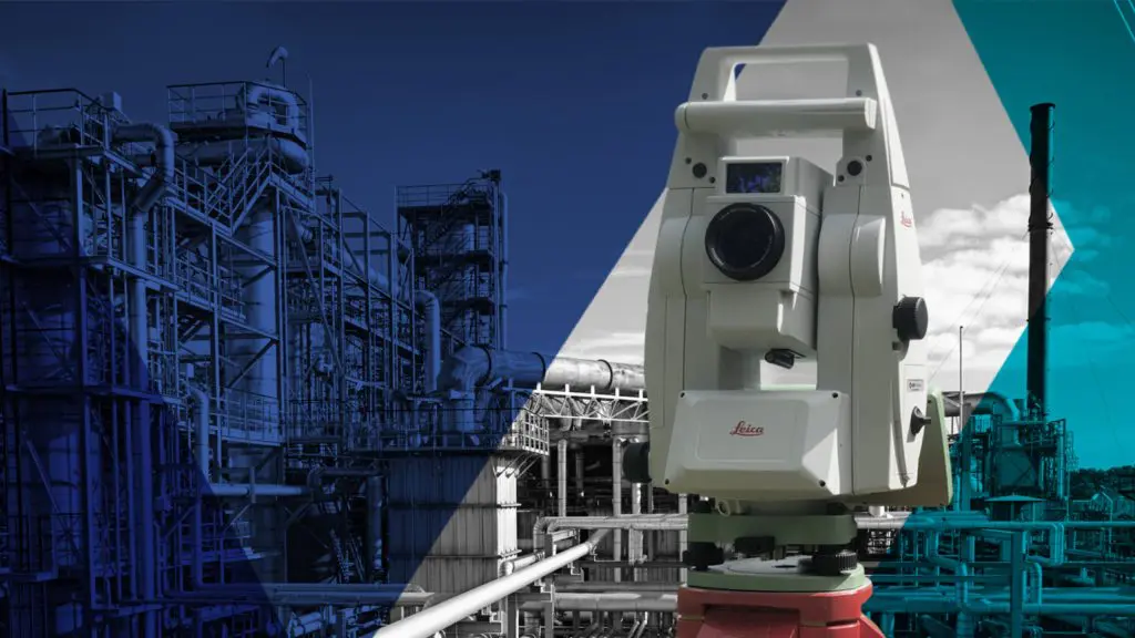
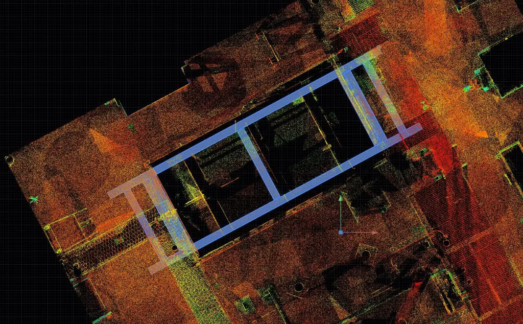
Drone LiDAR was flown over the forested estate and outlying facilities, verified with Ground Control Points — significantly faster than traditional topographical survey through dense forest. The main site was captured using a combination of SLAM scanning, total station control, and HDS scanning, converted through digitisation to produce a topographical survey with cross sections available anywhere across the site. External buildings and operational areas were captured with HDS scanning. Internal operational areas, process plant, and warehouses were scanned to the precision required for pipework tie-in modelling.
Everything was tied to Ordnance Survey National Grid throughout — internal and external, buildings and estate, one coherent verified spatial reference. Permits were raised for all areas. A 3D AutoCAD model was produced from the captured data, ready for engineers to use directly for design and planning.
The Consequence Addressed
Design and planning decisions for a large, complex industrial facility — replacement pipework, extensions, equipment layout, system tie-ins, structural modifications, and future development — depend on knowing what physically exists across the entire asset.
Legacy drawings rarely reflect current conditions across a facility of this scale and age. Phase established a verified spatial baseline that engineers could rely upon without question — tied to national grid, internally and externally consistent, and precise enough for pipework tie-in modelling work.
How The Capture Was Approached
Wider Estate — Drone LiDAR
Drone LiDAR flown over the forested estate and outlying facilities owned by the distillery. Ground Control Points used throughout for verification and accuracy. LiDAR capture through dense forest significantly faster than traditional topographical survey methods — producing a basic topographical survey with general levels across the wider estate, tied to Ordnance Survey National Grid.
Main Site — Combined Capture
The main site was captured using a combination of SLAM scanning, total station control, and HDS scanning — all converted through digitisation to produce a topographical survey of the external site. The benefit of full scan capture over traditional topo methods: cross sections available anywhere across the site on demand.
External buildings and operational areas captured with HDS scanning to the precision required for engineering use. All tied to the same Ordnance Survey grid as the wider estate capture.”
Internal Capture & 3D Model
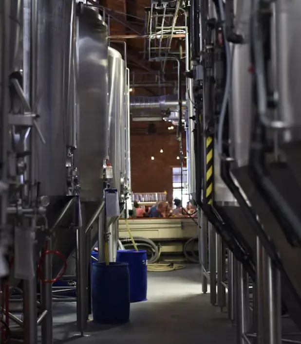
Operational areas, process plant, and warehouses scanned internally to the precision required for pipework tie-in modelling. Internal scanning tied to the same Ordnance Survey grid as all external work — one spatial reference across the entire facility, inside and out. Permits raised for all areas. A 3D AutoCAD model produced from the captured data — delivered to engineers for design and planning use directly.
A verified spatial baseline of this completeness supports a wide range of downstream engineering and planning activities — including replacement pipework design and routing, equipment layout and spatial planning, extension and new build design, tie-in modelling for new systems, structural modification planning, facilities management and estate planning, and any future design decision that depends on knowing what physically exists across the facility.
Ordnance Survey Control Established
GNSS used to tie the entire capture to Ordnance Survey National Grid from the outset — ensuring internal and external data, buildings and estate, all referenced to a single consistent spatial framework.
Drone LiDAR — Wider Estate
Drone LiDAR flown over forested estate and outlying facilities. Ground Control Points used for verification. Significantly faster than traditional survey methods through dense forest.
Main Site Captured
SLAM, total station, and HDS scanning used in combination across the main site. Converted through digitisation to topographical survey — with cross sections available anywhere across the site.
External Buildings & Operational Areas
HDS scanning used for all external buildings and operational areas — precision capture tied into the site control grid throughout.
Internal Operational & Process Areas
Operational areas, process plant, and warehouses scanned internally to the precision required for pipework tie-in modelling — tied to the same grid as all external work.
3D AutoCAD Model Delivered
Complete 3D AutoCAD model produced from captured data. Delivered to engineers for design and planning use — internally and externally consistent, tied to national grid, precise enough for pipework tie-in modelling.
Related Work
Our Experience
Duration
Weeks
Full Facility Capture
Survey Methods
5
SLAM, HDS, Total Station, GNSS, LiDAR
Spatial Reference
1
OS National Grid Throughout
Why It Mattered
A facility of this scale and complexity — operational process plant, warehouses, external buildings, forested estate, outlying facilities — cannot be understood from legacy drawings alone. Phase established a single verified spatial baseline that covers everything, tied to national grid, internally and externally consistent.
Engineers working from that baseline can design replacement pipework, plan extensions, route new systems, and make layout decisions — all from verified physical conditions rather than assumption.
Offshore-Grade Precision On An Industrial Scale
The precision applied on this project — every scan tied to Ordnance Survey National Grid, internal and external data on the same grid, cross sections available anywhere across the site — reflects the same standard Phase applies on offshore campaigns where tolerance for error is zero. That standard doesn’t change because the environment is onshore. The consequence of working from incorrect spatial data is the same wherever the asset is.
The Right Method For Each Area
No single method was applied across the entire facility. Drone LiDAR for the forested estate. SLAM, total station, and HDS scanning for the main site. HDS for external buildings and operational areas. Precision internal scanning for process plant and warehouses. Each method selected for its fitness for purpose in that environment — all tied to the same control framework throughout.
The Result
A complete verified spatial baseline for an entire distillery facility and its wider estate. Internal and external. Buildings and forest. Operational areas and warehouses. All tied to Ordnance Survey National Grid. All precise enough for pipework tie-in modelling. A 3D AutoCAD model delivered to engineers — ready to use without question
Need a verified spatial baseline for your facility?
If design or planning decisions — replacement pipework, extensions, equipment layout, system tie-ins, or any future modification — depend on an accurate understanding of what physically exists across an entire facility inside and out, a short conversation is often enough to establish whether Phase can help.