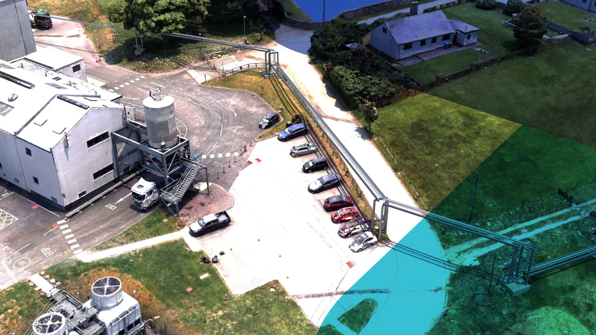
Design and planning decisions often depend on an accurate understanding of what exists at and below ground level. Site levels, surface features, buried constraints, and interfaces with existing assets all influence how designs develop and where risk ultimately sits.
This solution is applied when teams require a dependable understanding of site and subsurface context to inform design, planning, and safe intervention — particularly where existing records are incomplete, outdated, or lack sufficient detail for informed decisions.
The challenge
Ground-related risk is frequently underestimated at early design stages. Legacy drawings may not reflect current site conditions, surface levels may have changed, and buried services or obstructions may be undocumented or inaccurately recorded.
Where site information is limited to basic or outdated surveys, designers are forced to make assumptions about levels, interfaces, and clearances. These assumptions often unravel once excavation or construction begins, when options are limited and consequences escalate quickly.
The challenge is establishing a sufficiently rich understanding of site and subsurface conditions early enough to support design decisions — without discovering critical constraints only once work is underway.
Site Levels & Interfaces
Ground-Related Risk Awareness
Record-to-Reality Alignment
Design-Informed Site Context
Evidence for Safe Intervention
What this solution supports
Ground & Subsurface Risk Assessment is applied where evidence is required to support design and planning decisions involving ground interaction.
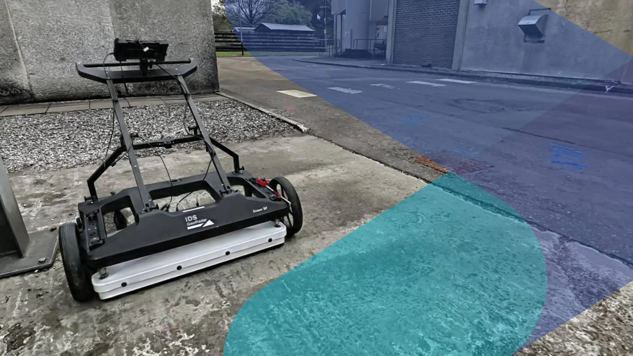
Where buried service detection is required, Phase applies ground penetrating radar (GPR) and electromagnetic location (EML) methods aligned with PAS128 — establishing the location, depth, and nature of underground utilities before excavation or intrusive works proceed. Coverage is adapted to the asset, governance model, and level of assurance required, but typically includes verification across the following areas:
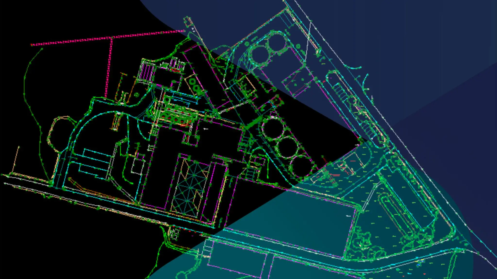
Topographical survey to establish accurate site levels, surface features, and boundaries before design or construction proceeds.
Detection and mapping of buried services using ground penetrating radar (GPR) and electromagnetic location (EML), aligned with PAS128 where required
Identification and interpretation of buried services and subsurface features where ground intervention or excavation is planned
Assessment of ground-related risk prior to excavation or construction
Alignment of existing records with observed site conditions
Evidence generation where third-party, regulatory, or stakeholder assurance is required.
This solution supports decision-making and design development. It does not replace statutory responsibility, permitting, or duty-holder obligations.
Where surface context interfaces directly with buildings or structures, enhanced site information may be aligned with building geometry. This solution remains focused on site and ground context; representation of buildings themselves is addressed separately.
Ground risk assessment in practice
The examples below illustrate how site and subsurface risk is assessed in practice. The level of detail is selected to suit access, programme, and the decisions being supported — ranging from surface definition for early design through to enhanced subsurface understanding where risk and consequence are higher.
Site Levels & Surface Features
Ground levels and surface features established to support early design decisions.
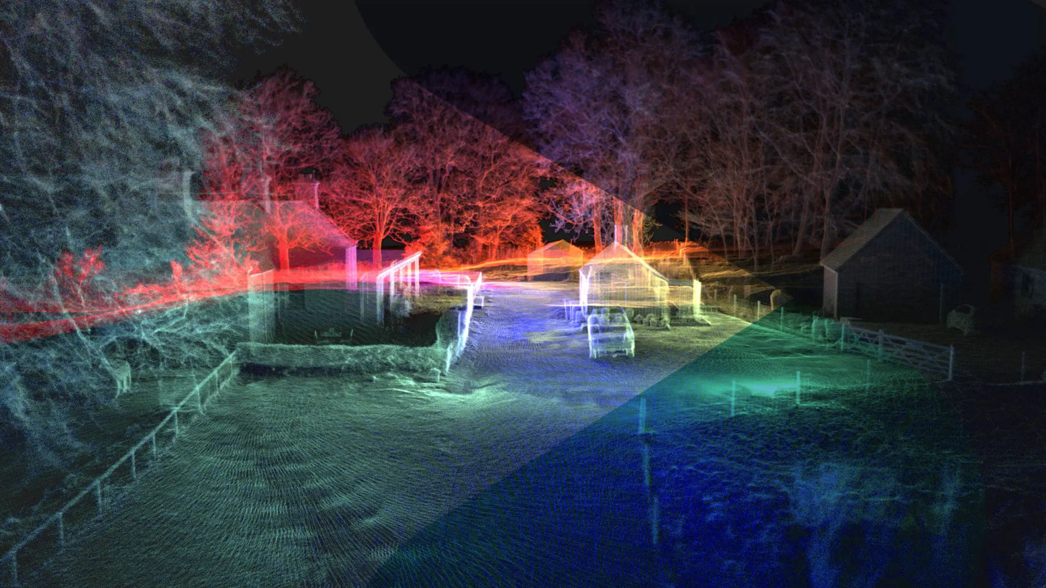
Enhanced Site Context
Richer spatial context created where basic topography is insufficient for design confidence.
Buried Constraints Identified
Subsurface services and features identified and interpreted where ground interaction is planned.
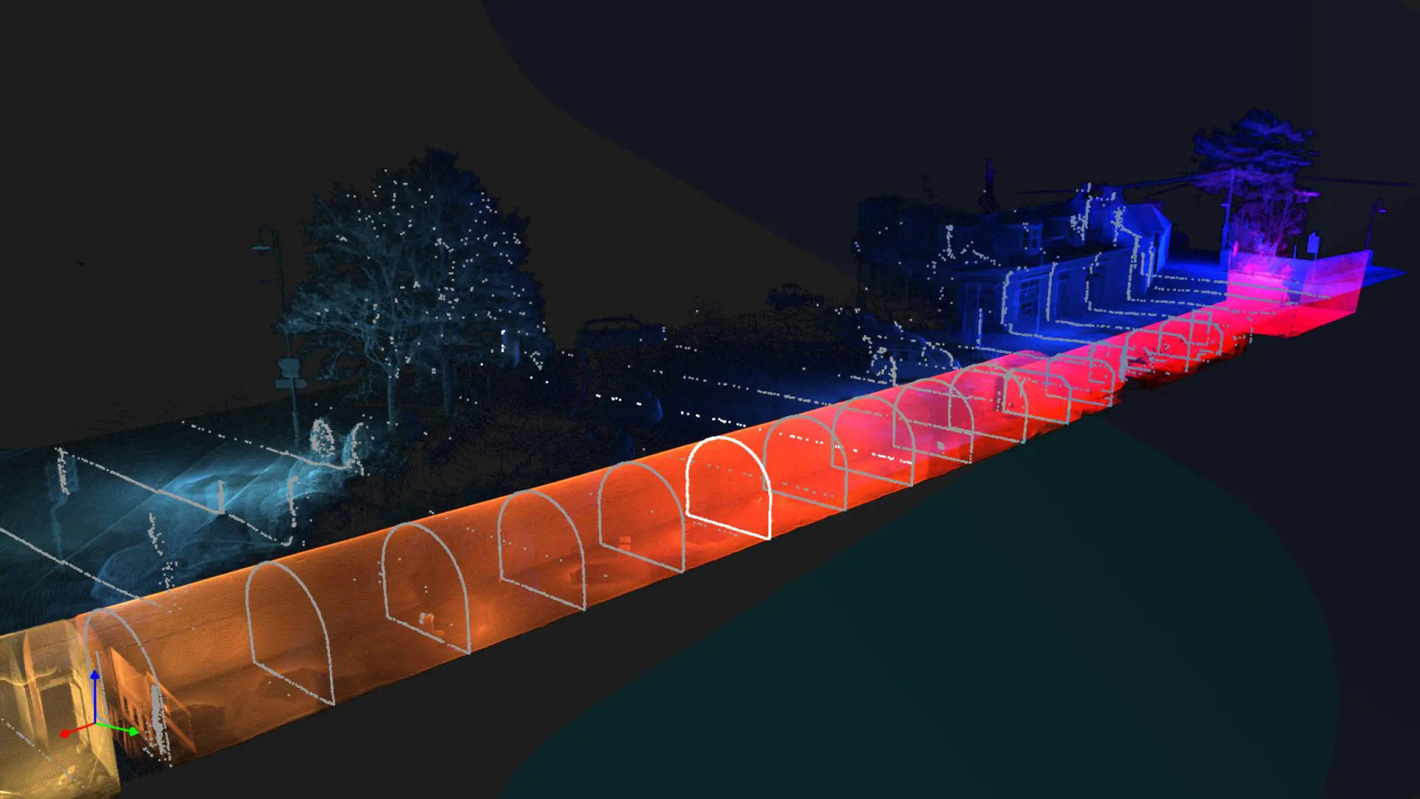
Interface with Existing Assets
Ground conditions assessed in relation to adjacent buildings, structures, and infrastructure.
Evidence for Design & Planning
Outputs used to inform design development and reduce reliance on assumption.
The outcome
Teams gain greater certainty over site and subsurface conditions before designs are fixed. Design decisions proceed with confidence in levels, interfaces, and feasibility, reducing the likelihood of late discovery and reactive change.
Where enhanced subsurface information is required, designers are able to work against evidence-based site context rather than incomplete records — supporting safer, more efficient progression from concept through to delivery.
Phase operates from Aberdeen, supporting ground and subsurface risk assessment across Scotland and the UK.
Discuss the site context
If design or planning decisions depend on a clear understanding of ground conditions and subsurface risk, early assessment can prevent avoidable redesign and escalation later.