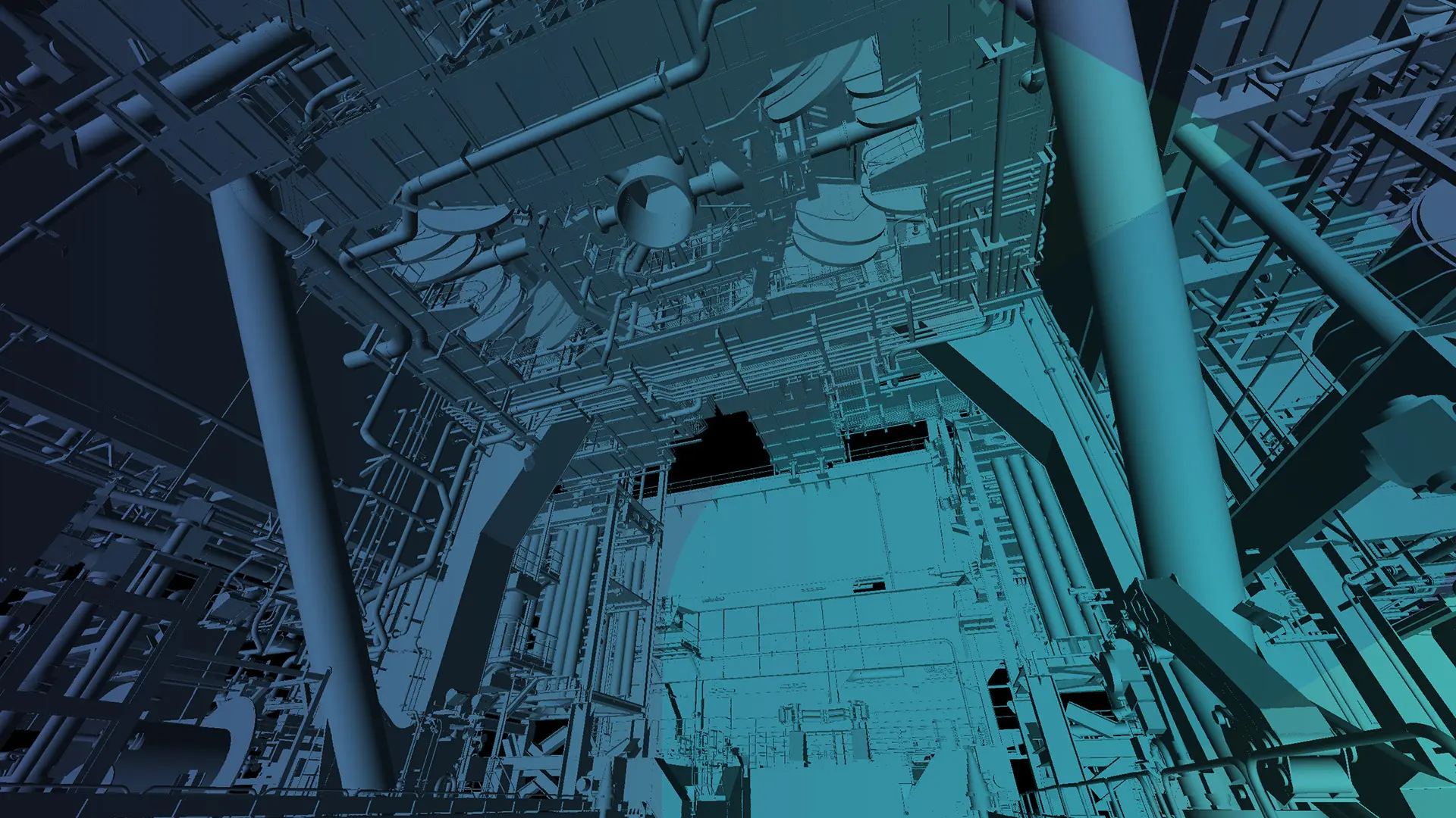
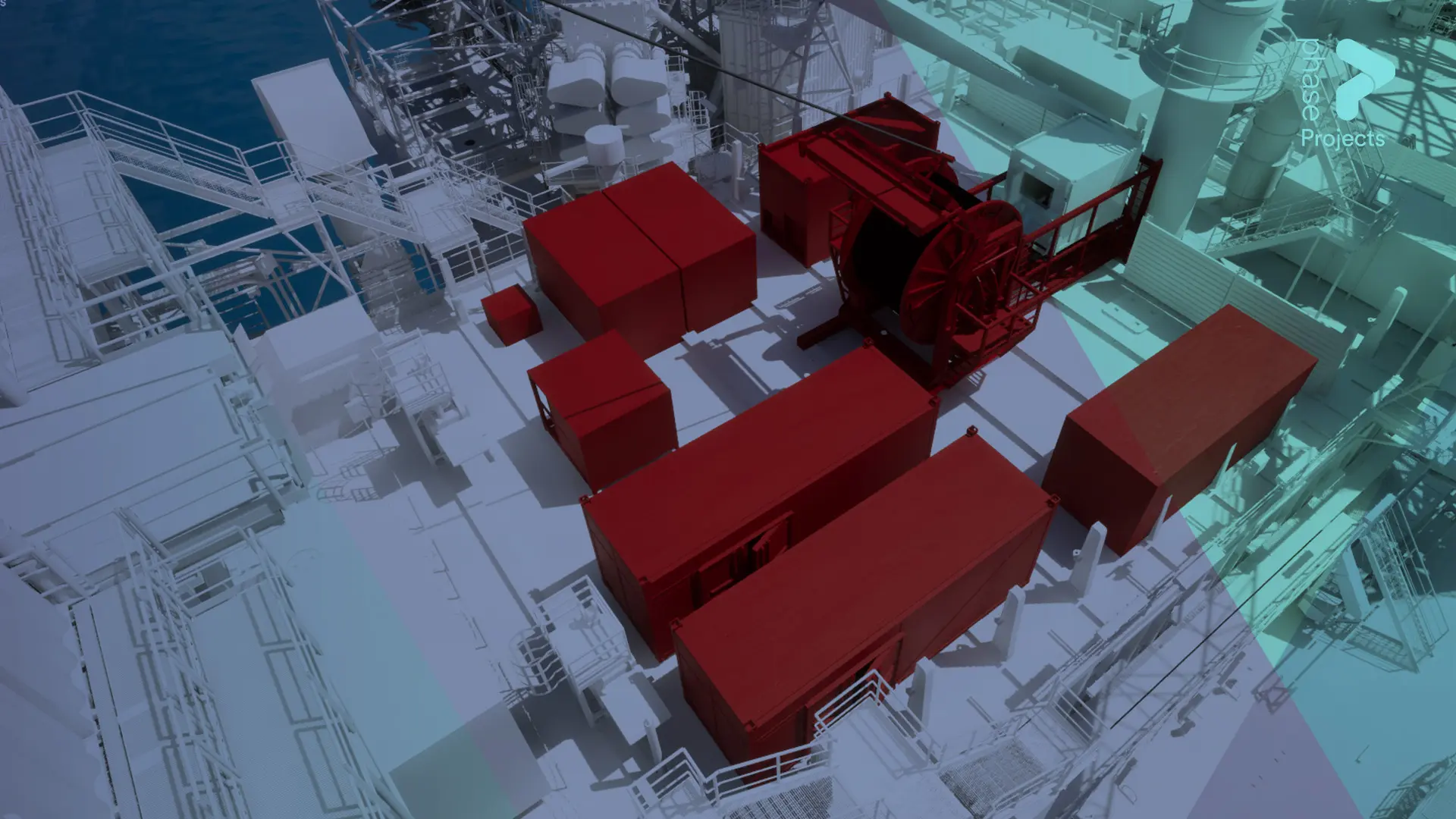
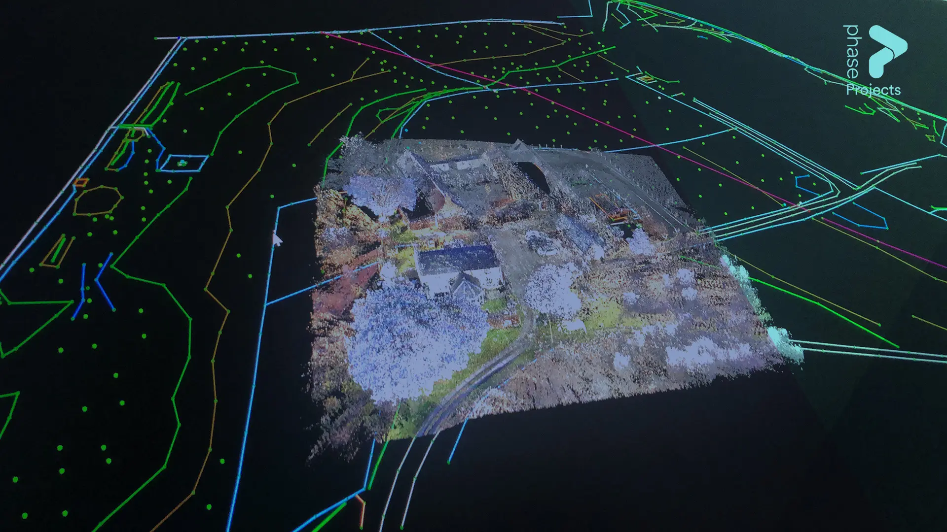
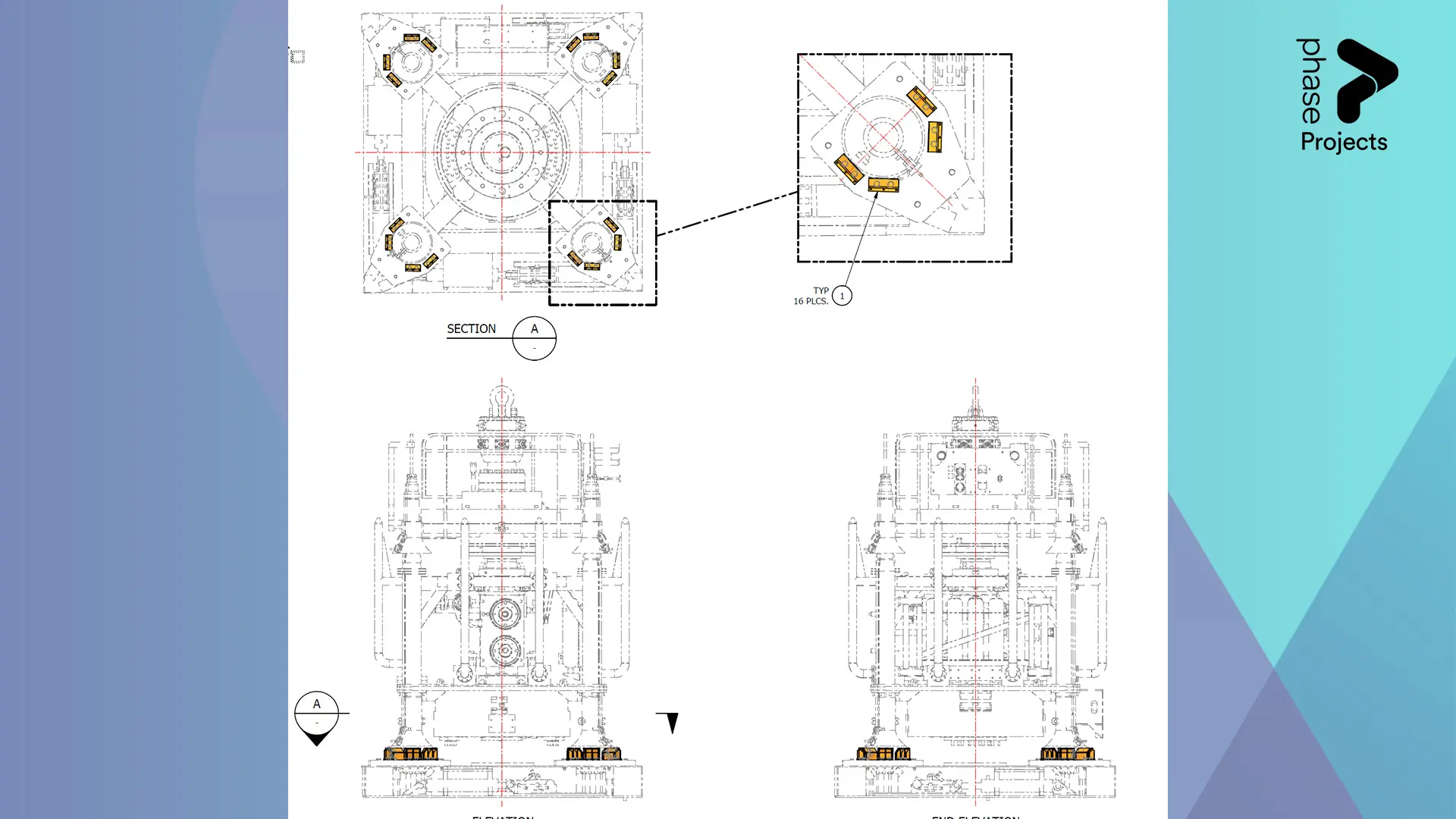
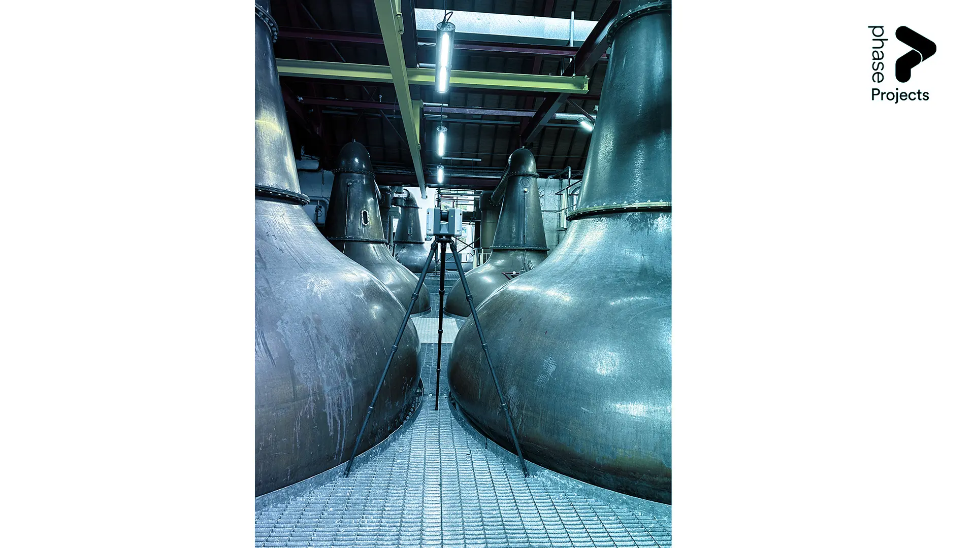
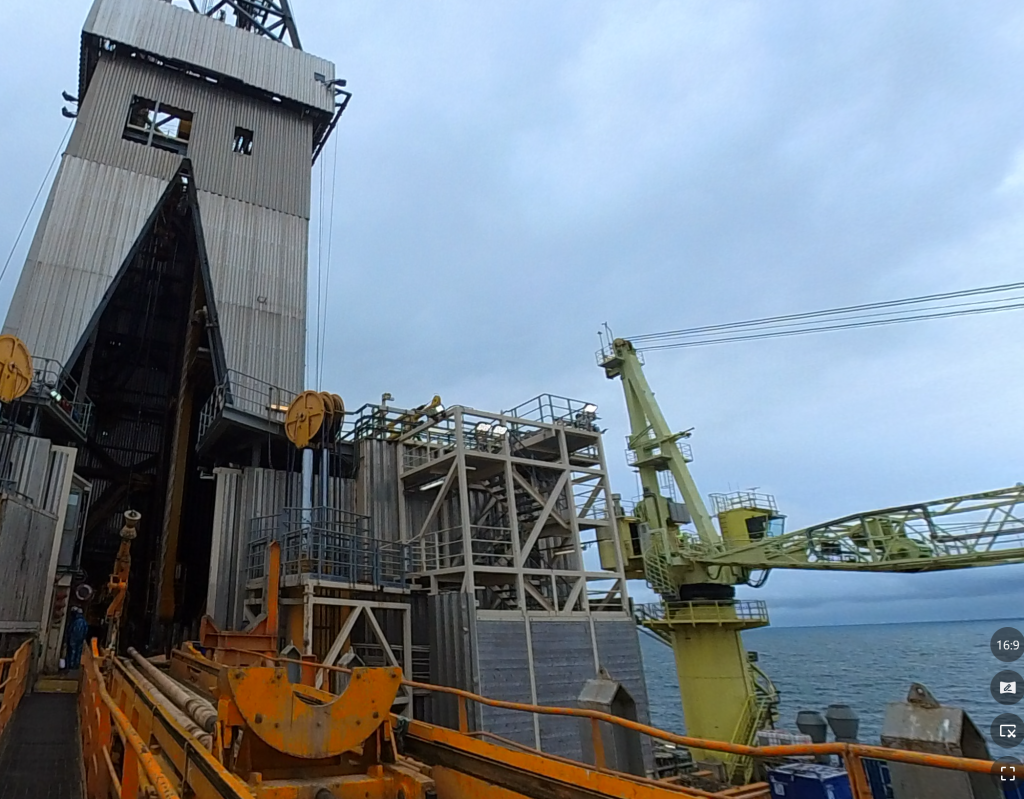
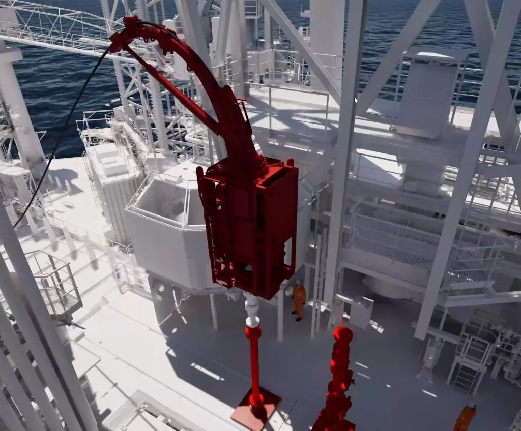
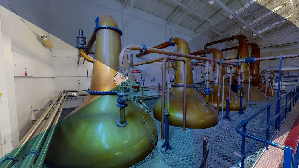
This application area focuses on ensuring that all stakeholders share a consistent spatial understanding of assets, environments, and constraints. It is applied where differing mental models of space, layout, or proximity could lead to misalignment, misunderstanding, or flawed decisions.
By establishing a common spatial reference, Phase enables teams to discuss issues, options, and risks from the same point of understanding — reducing ambiguity and ensuring decisions are made from a verified, shared understanding of the physical situation.
1. Common Spatial Reference Established
A single, shared representation used by all parties to understand the same physical context.
2. Relative Position Clearly Communicated
Locations, orientations, and proximity of elements presented to remove ambiguity.
3. Context Visible at the Right Scale
Spatial information shown at scales appropriate for discussion and review.
4. Multiple Perspectives Aligned
Views and perspectives coordinated to support consistent interpretation.
5. Spatial Context Used in Discussion
Shared spatial references used to support collaborative review and coordinated decision-making.
A common reference — before interpretation divides
When teams approach the same project from different disciplines, contractors, or organisational perspectives, spatial misalignment is a persistent source of risk. Shared Spatial Context provides a single, verified spatial reference that all parties can work from — removing the ambiguity that comes from differing mental models and ensuring discussion, review, and decision-making proceed from the same understanding.
Phase operates from Aberdeen, producing shared spatial context outputs for offshore campaigns, industrial facilities, and infrastructure projects throughout the UK and internationally where required.
When it's needed
Applied where multidisciplinary teams, client stakeholders, or remote parties need to share a consistent understanding of physical space before planning, review, or operational decisions are made. Typically engaged ahead of collaborative design reviews, site planning sessions, or any stage where spatial misalignment between teams could affect the quality of decisions.
Establish a common understanding before discussion begins
If spatial misalignment between teams or stakeholders is creating ambiguity or risk in your project, a short conversation is often enough to establish whether Phase can help.